Finding Your Way Above the Tree Line

Today we dive into paper maps versus GPS for alpine treks, focusing on navigational best practices that keep you moving confidently when the air thins and clouds close in. You’ll learn to blend analog reliability with digital precision, build redundancy, and choose wisely when visibility shrinks. Expect practical checklists, honest stories about mistakes and recoveries, and clear guidance for planning, pacing, and route-finding. Bring curiosity, a compass, and a fully charged battery; leave ready to share your questions, experiences, and hard-won lessons with fellow hikers and climbers.

Preparation Before the First Step

Solid navigation begins at your desk long before your boots touch scree. Pair printed, waterproof topographic maps with curated digital layers, and rehearse your intended line against contours, slope angles, and typical weather patterns. Load GPX files offline, print a backup route card, and identify decision points. Preparation reduces cognitive load when altitude and effort compete for attention. Good prep also sparks confidence, which prevents rushed choices when the mountain tests patience.

Low-Visibility Tactics with Paper and Compass

In a whiteout, switch to deliberate movement. Take a bearing to a catching feature—stream confluence, saddle, or moraine edge—and pace count with interval checks. Use attack points, handrails, and backstops marked earlier on your paper map. Keep teammates within voice range, appoint a navigator and a confirmer, and communicate headings aloud. Pause frequently to reassess drift from side winds or slopes. Paper never loses signal; your discipline supplies the reception.

Managing Electronics in the Cold and Wet

Cold drains batteries, and sleet confuses touchscreens. Keep devices warm in an inner pocket with a chemical hand warmer on true epics. Use physical buttons where possible; lock screens to prevent accidental inputs. Rotate devices to conserve power: phone on airplane mode for quick checks, dedicated GPS for track logging, watch for glanceable bearings. Drybags, desiccant packs, and short, frequent verifications beat one long session that ends in a shutdown tone.

Accuracy, Reliability, and Human Factors

The strongest tool in the mountains is your judgment. GPS offers precision, yet also tempts tunnel vision. Paper maps cultivate spatial understanding, but can mislead if contour interpretation is rusty. Cognitive biases nudge us toward convenience, momentum, and confirmation. Build a habit of cross-checking three sources: instrument reading, paper inference, and terrain reality. When all three align, proceed confidently; when one diverges, slow down, investigate, and give curiosity the right of way.

Avoiding Digital Tunnel Vision

That comforting blue dot can seduce you into ignoring cornices, cliffs, and loose scree. Lift your eyes every few steps to compare ridges and spurs against the map’s shapes. Widen your field: confirm elevation with an altimeter, verify slope aspect with the sun or a compass, and question perfect tracks uploaded years ago. The screen is a guide, not a verdict. Your awareness, updated constantly, prevents blindly walking into consequential terrain traps.

Reading the Land Like a Map

Practice terrain association until contours come alive. Identify handrails such as ridgelines, streams, and vegetative changes; use them to funnel progress without constant bearing checks. Estimate elevation by counting contour intervals between known features, then validate against your altimeter. Notice micro-terrain—benches, knolls, and cols—matching them to squiggles on paper. When the mountain and the map sing the same melody, every decision feels quieter, simpler, and more dependable, even when wind howls.

A Ridge, a Glacier, and a Dead Battery

Stories teach faster than lectures. On a windy August traverse above a crevassed glacier, a team relied on a GPX line until cold snapped their phone below twenty percent. Paper took over, but doubt crept in as spindrift blurred footprints. A measured bearing to a moraine bench, confirmed by pacing and altimeter checks, returned them to safety. They finished humbled, grateful for redundancy, and eager to refine habits that turn luck into competence.

Skill Drills for a Stronger Weekend

Short, focused practice builds durable competence. Dedicate an afternoon to blending paper awareness with digital verification. Set micro-goals: follow a contour line without losing altitude, then verify on your device. Practice estimating distances by pacing, time, and terrain difficulty. Finish with a debrief, writing what surprised you and what felt easy. Repeat monthly, alternating partners and locations. Skills compounded over seasons become calm judgment when mountains grow loud.

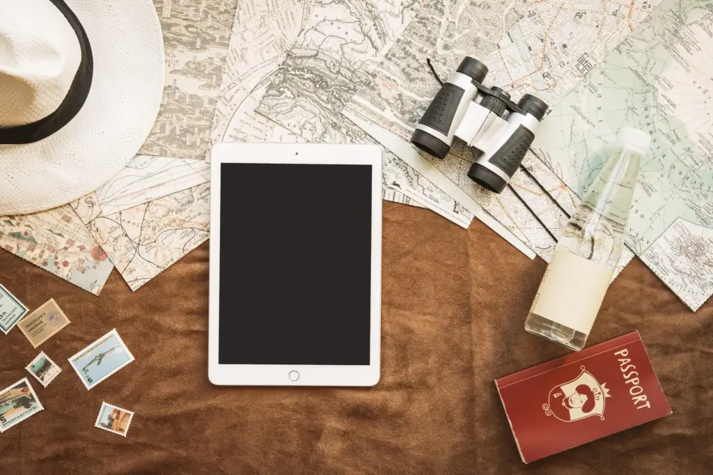
Gear Choices That Actually Matter

A Compass Built for Mountain Abuse

Select a compass with a stable needle, clear baseplate markings, and an easy-to-dial bezel you can turn with gloves. Clinometer markings help judge slope angles on avalanche-prone terrain. Fluorescent details aid twilight readings; a lanyard prevents drops into talus. Practice setting declination at home until it’s automatic. Pair your compass with a straight-edge card for route notes, and you’ll have a rugged, simple setup that keeps working after batteries complain and screens fog.

Paper That Laughs at Rain

Standard printer stock dissolves into confetti when storms arrive. Use waterproof or synthetic map paper that folds cleanly, resists tearing, and accepts pencil marks. Lamination is durable but stiff; a map case balances flexibility and protection. Print critical insets—complex junctions or glaciated sections—at larger scales for emergency clarity. Mark decision points, bearings, and bailout routes before leaving home. When rain needles your cheeks, being able to read fine lines becomes real comfort.

GPS Handset, Watch, or Phone?

Each platform shines differently. Phones excel with big screens, versatile apps, and photography, but need careful power discipline. Watches offer quick glances for bearings and elevation, perfect for cold stops. Dedicated GPS units thrive in wet, glove-heavy conditions with tactile buttons and strong antennas. Consider redundancy: pair a phone with a robust watch or compact GPS. Whatever you choose, rehearse your workflow so muscle memory replaces fumbling when the wind demands decisive movement.

Marking and Communicating Your Position

Know how to express location in multiple systems: latitude–longitude, UTM, and national grids. Practice reading coordinates from your paper map grid and translating them into your device’s format. Confirm digits aloud with a partner to avoid transposition errors. Be cautious with app-generated words; always verify with numeric coordinates. When calling for help, include elevation, nearby features, and weather trend. A precise, consistent location report accelerates assistance and demonstrates calm control under pressure.

Bivouac and Stay-Found Techniques

If retreat becomes unsafe, shift objectives. Choose a sheltered spot below ridgelines, away from runoff and cornices. Use your map to anticipate wind funnels and cold-air sinks. Turn devices off between scheduled check-ins, preserving power for crucial windows. Mark your location on paper and digitally, leaving a visible note for potential rescuers. Eat, hydrate, and track time with alarms. Staying found—anchored to a known point—often beats wandering tired circles that widen exposure.

After-Action Review and Community Learning

When home, transform adrenaline into insight. Compare your recorded track with planned bearings, annotate deviations, and note where paper or GPS excelled. Capture human factors—fatigue, optimism, group dynamics—alongside technical data. Share distilled lessons, not just triumphs, in forums or local clubs. Ask for feedback, update waypoints, and refine checklists. Subscribe for upcoming drills, printable planning templates, and reader route spotlights. Collective reflection builds a navigation culture that grows steadier with every shared story.

Tavolaxivaroxariteli
Privacy Overview

This website uses cookies so that we can provide you with the best user experience possible. Cookie information is stored in your browser and performs functions such as recognising you when you return to our website and helping our team to understand which sections of the website you find most interesting and useful.